Home/ Projects/ Dromankese Cadastral Survey
Project Case Study · Bono East

474.08 acres.
Measured, monumented, documented.

A large-scale cadastral survey and boundary delineation assignment in Dromankese, executed through permanent monumentation, static GNSS observation, CORS-referenced processing and draft cadastral plan preparation.

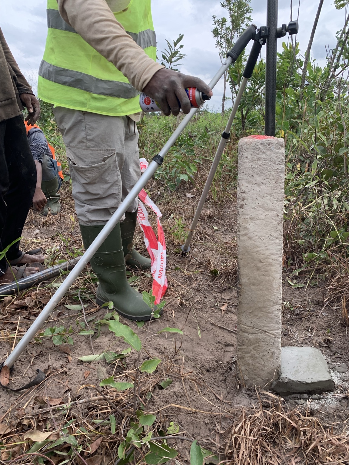
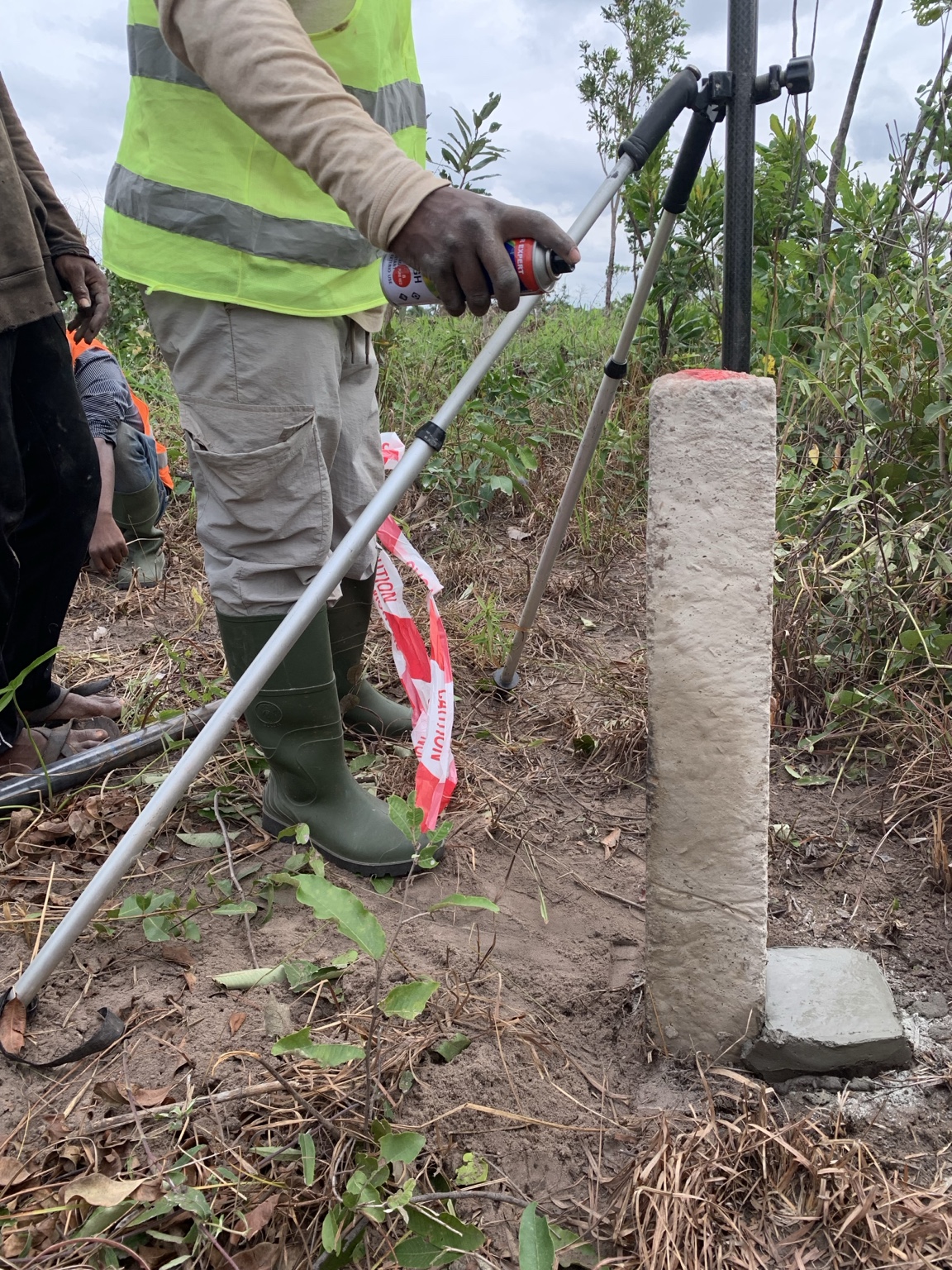
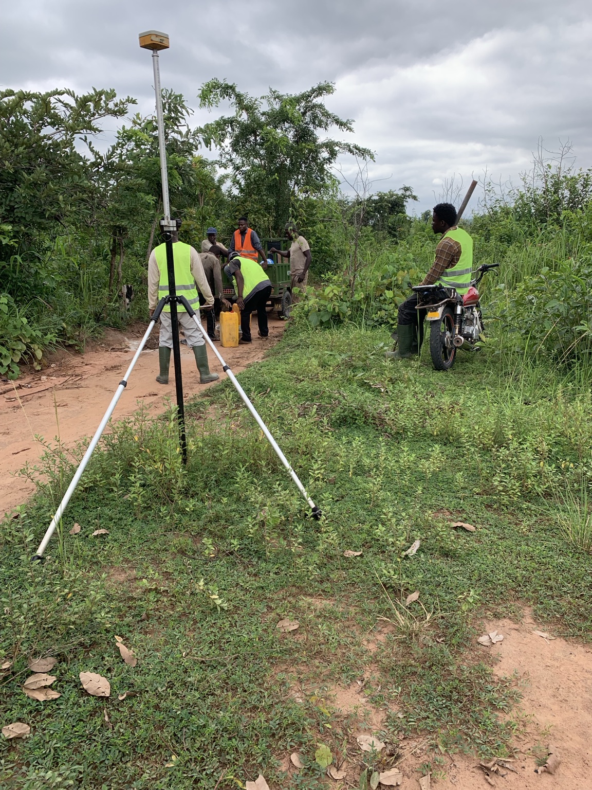
Airban Engineering static GNSS fieldwork during the Dromankese cadastral survey
23 stations established and observed across two large parcels
474.08 acCombined survey area
2 parcelsBoundary assignments
23Boundary stations
Static GNSSObservation method
Bono EastProject region
The Assignment

A boundary survey where the acreage could not be assumed.

The assignment began with approximate parcel extents rather than definitive surveyed areas. Airban's responsibility was not to “find” a predetermined acreage, but to establish, monument and measure the boundary positions presented on the ground and allow the survey evidence to determine the result. This is why professional boundary and cadastral surveying matters.

01 · MOBILISATION

Eight hours from Cape Coast to the project area.

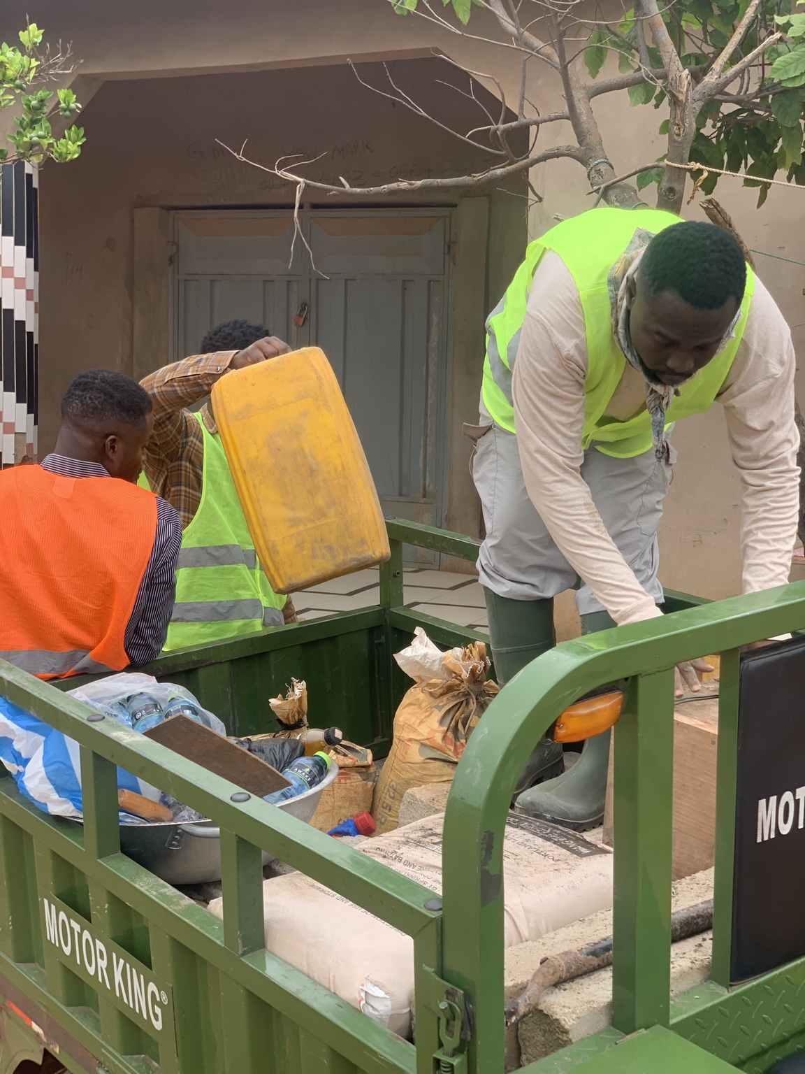
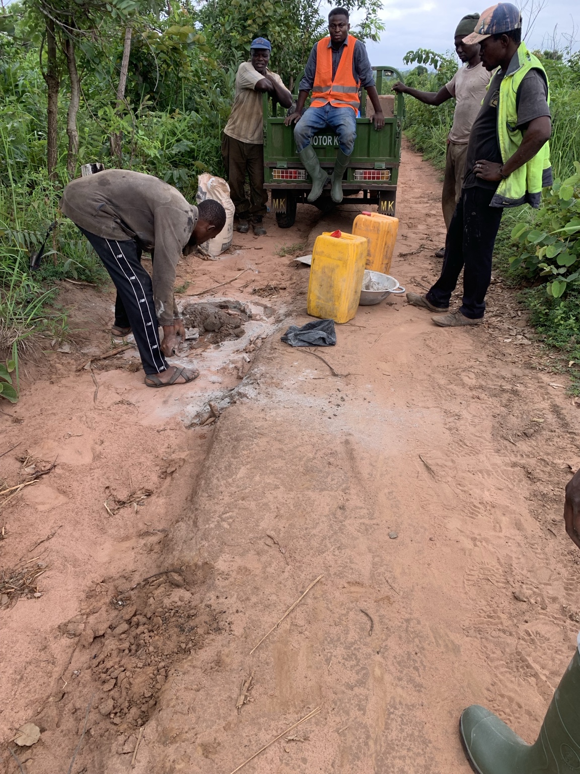
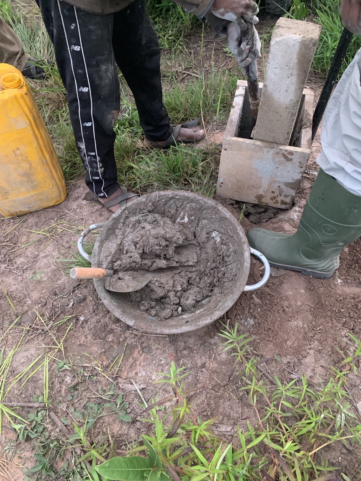
A four-person field team mobilised through Kumasi and Techiman with an ALPHA GEO dual-frequency GNSS receiver, approximately 40 precast monuments and materials for in-situ Type C monument construction.

02 · FIELD REALITY

One parcel was still not physically established.

The parcel expected to be approximately 165 acres had not been demarcated before Airban arrived. The programme was adjusted while the boundary positions were identified in the presence of the seller's survey representative.
Survey Methodology

From field monument to draft cadastral plan.

Airban used a traceable field-to-office workflow so each station could move from physical establishment to GNSS observation, post-processing, coordinate verification and plotting. The work ultimately supports the type of cadastral documentation required during formal land processes; see our guide to land registration in Ghana.

STEP 01

Boundary establishment

Positions identified with local representatives and monumented using a hybrid precast and in-situ Type C approach.

STEP 02

Static GNSS occupation

Stations occupied using the ALPHA GEO dual-frequency receiver, typically for approximately 30 minutes per station.

STEP 03

CORS processing

Raw observations converted to RINEX and processed in Topcon Tools against reference data from CORS station SGBE202501.

STEP 04

Plotting & computation

Processed Ghana National Grid coordinates imported into AutoCAD for plotting, closure checks and acreage computation.

+70.60 additional acres measured on the parcel originally expected to be approximately 165 acres
The Defining Finding

The acreage was an output — not a target.

By approximately the seventh station, the field team had already recognised that the boundary being presented materially exceeded the anticipated extent. The survey nevertheless continued along the positions identified on the ground.

Professional surveying does not force field evidence to match an expected acreage. It measures the boundary and lets the evidence establish the result.

Survey Results

Two parcels. 474.08 acres combined.

These are draft project-stage outputs prepared from completed field observations and post-processing. Professional/statutory certification remains the next project stage.

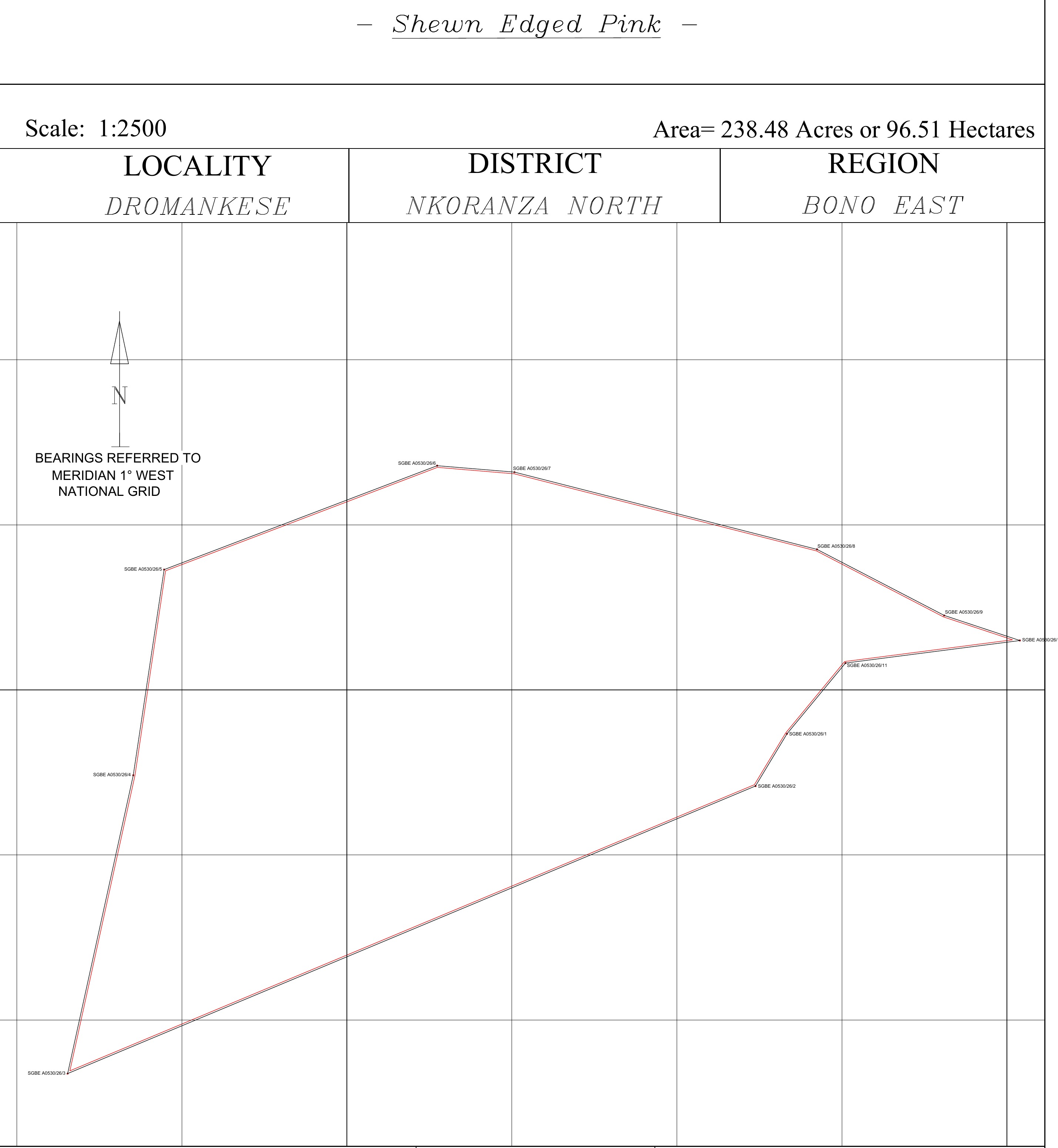
Draft survey geometry for the 238.48 acre parcel in Dromankese

Parcel 01 — 238.48 acres

96.51 hectares · 11 boundary stations

Scale 1:2500Ghana National GridDraft Plan
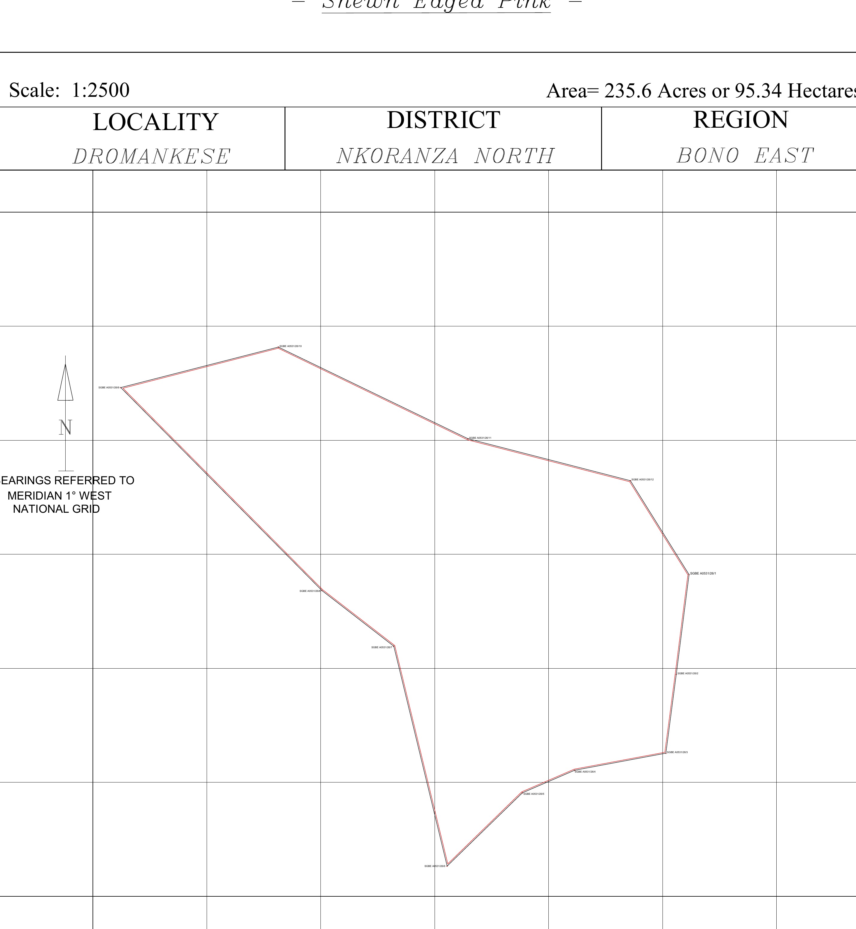
Draft survey geometry for the 235.60 acre parcel in Dromankese

Parcel 02 — 235.60 acres

95.34 hectares · 12 boundary stations

Scale 1:2500Ghana National GridDraft Plan
Technical Project Record — AE-FJ-001

This assignment is documented within Airban Engineering's Field Journal system, where field observations, technical decisions and project lessons are retained as part of the Airban Method. The public case study presents the client-relevant project story while the detailed technical record remains part of Airban's internal project-control system.

What the Project Changed

Experience became procedure.

Dromankese improved how Airban approaches future large-acreage mobilisation, boundary readiness and material scope changes. Those lessons now strengthen the systems used on subsequent assignments.

AIRBAN METHOD · 01

Boundary readiness before mobilisation

For substantial assignments, the intended parcel should be reasonably identifiable and authorised representatives confirmed before full mobilisation.

AIRBAN METHOD · 02

Scope changes acknowledged early

Material changes in estimated acreage should be recorded in writing and commercially reviewed before field deployment where practicable.

AIRBAN METHOD · 03

Field evidence comes first

Expected acreage guides planning. It does not dictate the boundary ultimately measured, documented and presented for professional review.

Need certainty before you develop, buy or register land?

Survey the boundary before the assumptions become expensive.

Airban Engineering provides cadastral surveying, boundary verification, topographic surveying, setting-out and land documentation support across Ghana.

Request a Survey Consultation