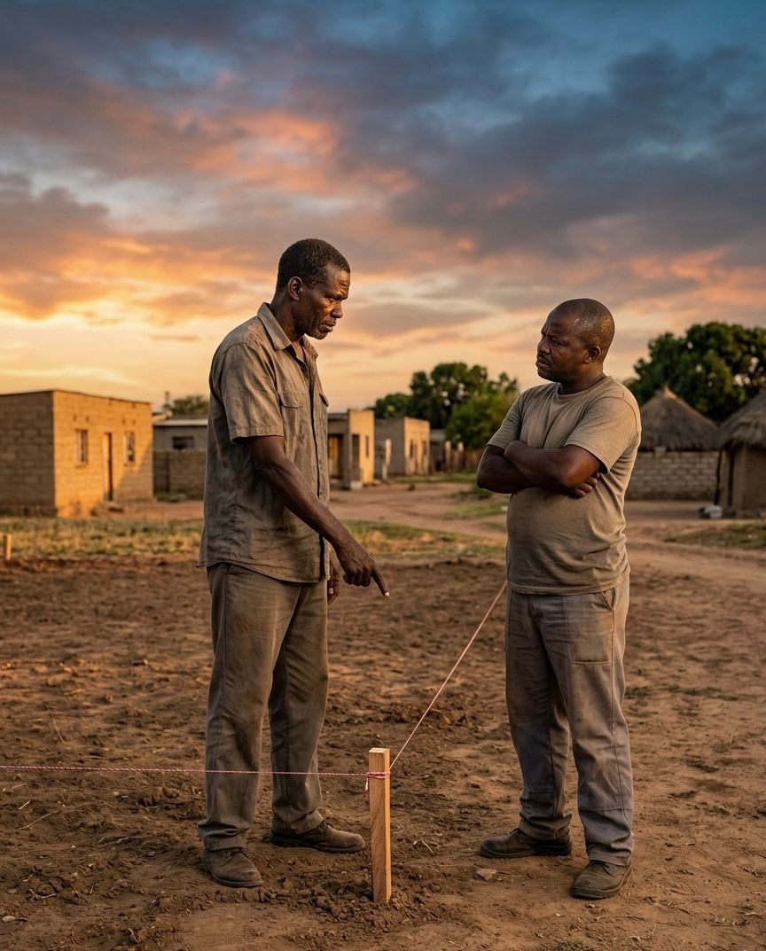
“If the boundary is unclear, the ownership conversation is already risky.”
Many land disputes in Ghana do not begin in court. They begin much earlier — when someone buys land based on trust, verbal description or physical inspection alone.
Someone points to a piece of land and says: “This is your land.” But without a professional survey, that statement may not be enough to protect you.
The Reality Most Land Buyers Ignore
Land is not secured simply because someone showed you a parcel. A proper survey helps turn verbal claims into coordinates, measured boundaries and clearer evidence for decision-making.
Without proper boundary verification, what you are buying may only be a claim — not a properly verified parcel.
What Happens When Boundaries Are Not Verified?
When land boundaries are unclear, small misunderstandings can become expensive problems.
- Land disputes with neighbours
- Two people claiming the same land
- Encroachment by walls, buildings, farms or access routes
- Wrong plot size or wrong parcel location
- Delays during documentation or registration
- Loss of money, time and peace of mind
Why Verbal Descriptions Are Not Enough
Many land sales rely on informal descriptions such as trees, footpaths, old pegs, walls, nearby houses or verbal instructions.
These markers can change, disappear or be misunderstood. A survey helps confirm the actual parcel on the ground.
- Trees can be removed
- Old pegs may be wrongly placed
- Footpaths can shift over time
- Neighbouring lands may overlap
- Verbal descriptions can be interpreted differently
What a Proper Survey Actually Does
A professional land survey removes guesswork. It defines the land using measurements, coordinates, boundary checks and mapped information.
A proper survey helps:
- Confirm exact boundary lines
- Identify existing pegs or missing boundary marks
- Detect encroachment early
- Check if the land size matches what was promised
- Support site plans, cadastral plans and documentation
- Reduce the chance of future disputes
Surveying Supports Official Searches and Documentation
A professional survey is not only useful for seeing the land physically. It also supports the next stages of land due diligence.
When the land is properly identified, it becomes easier to support:
- Official search preparation
- Site plan preparation
- Cadastral documentation
- Land registration processes
- Building permit and development planning
Before You Buy, Build or Invest
If you are buying land, preparing to build or trying to secure documentation, do not treat surveying as an afterthought.
Start by confirming the land physically and technically. It can save you from major financial stress later.
Before You Buy, Build or Invest — Verify Your Land
Airban Engineering helps clients with boundary verification, cadastral surveys, site plans, topographic surveys and land documentation support.
Send us the land location and any documents you have. We’ll guide you step by step.
Chat on WhatsAppNeed professional land surveying services in Ghana? Visit our land surveying page here.